How to Reach Wayanad: A Complete Travel Guide
Overview
Wayanad, the “Green Crown of Kerala,” is a high-altitude plateau known for its misty mountains, ancient forests, and vibrant wildlife. While it is a secluded hill district, it is exceptionally well-connected to major hubs in Kerala, Karnataka, and Tamil Nadu. Whether you are traveling for a weekend getaway or a long holiday, understanding the local transport landscape is key to a smooth journey.
Reaching Wayanad by Road
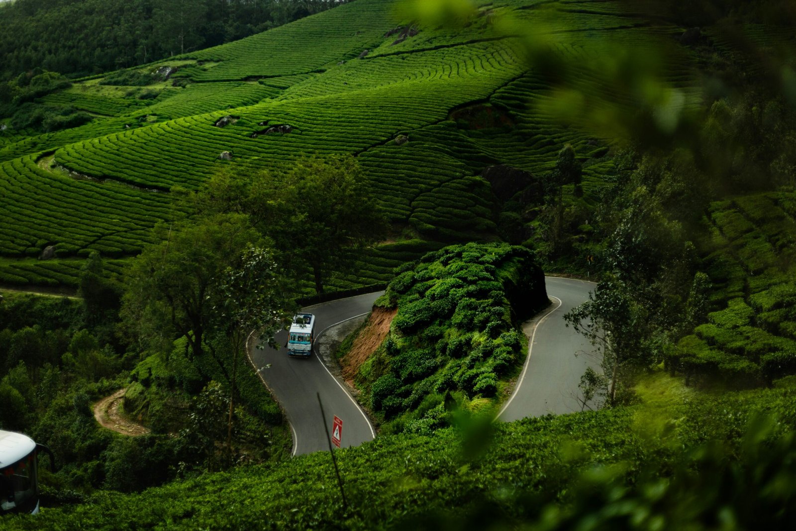
Road travel is the most popular way to experience Wayanad, offering scenic drives through mountain passes and forest reserves. The district has three main entry towns: Kalpetta, Sultan Bathery, and Mananthavady.
1. Routes from Kerala
- Kozhikode to Kalpetta: The most iconic route via Thamarassery Churam (9 hairpin bends).
- Distance: ~73 km | Time: 2.5–3 hours.
- Kannur to Mananthavady: Traverses through Mattannur and Kuthuparamba.
- Distance: ~100 km.
- Malappuram to Sultan Bathery: Via Nilambur – Nadukani ghats.
- Distance: ~120 km.
2. Routes from Karnataka
Wayanad is a favorite destination for travelers from Bengaluru and Mysuru.
- Bengaluru to Sultan Bathery: Via Mysuru and Gundlupet (NH 766).
- Distance: ~260 km.
- Mysuru to Wayanad: A short, beautiful drive via the Muthanga forest.
- Distance: ~120 km.
3. Route from Tamil Nadu
- Ooty to Meppadi: A lush drive through Gudalur and the tea estates of Meppadi.
- Distance: ~110 km.
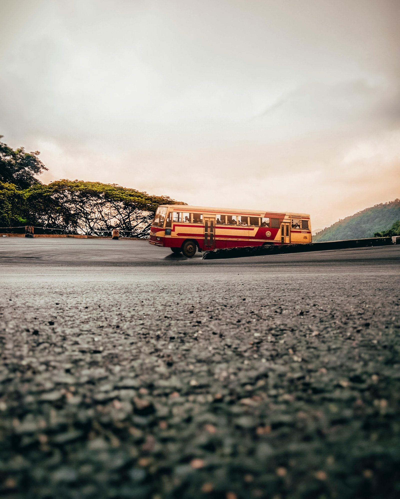
Reaching Wayanad by Bus
Wayanad is well-served by KSRTC (Kerala & Karnataka) and private operators. Regular Superfast, Deluxe, and AC Volvo buses operate from:
- Kerala: Kozhikode, Kannur, Thrissur, Kochi, and Trivandrum.
- Karnataka: Bengaluru and Mysuru.
Reaching Wayanad by Train
Wayanad does not have a railway station of its own. Travelers should book tickets to one of these nearby hubs:
- Kozhikode (Calicut) Railway Station: ~80 km from Kalpetta. (Most convenient).
- Kannur Railway Station: ~100 km from Mananthavady.
- Mysuru Railway Station: ~120 km from Sultan Bathery.
- Note: Taxis and frequent buses are available from all these stations.
Reaching Wayanad by Air
While there is no airport in the hills, three airports provide easy access:
- Calicut International Airport (CCJ): ~90 km. Connects to Kochi, Mumbai, Chennai, Bengaluru, and Middle Eastern countries.
- Kannur International Airport (CNN): ~100 km. Convenient for North Wayanad travelers.
- Mysuru Airport (MYQ): ~120 km. Ideal for domestic flights from within Karnataka.
- Kempegowda International Airport (BLR): ~290 km. The best choice for long-distance international travelers.
Important Travel Tips
- Night Traffic Ban: The road through Bandipur/Muthanga (NH 766) is closed from 9:00 PM to 6:00 AM. Plan your drive from Bengaluru/Mysuru accordingly.
- Driving Caution: The hairpin bends (Ghat roads) require careful driving, especially during the monsoon when roads can be slippery.
- Climate: Wayanad is cooler than the plains; carry light woolens for locations like Vythiri and Meppadi.
- Navigation: While Google Maps is reliable, it is always wise to double-check forest routes with locals for any temporary closures.
Frequently Asked Questions (FAQ)
1. Is there a night travel restriction to Wayanad?
Yes. Night travel is banned on the NH 766 stretch through Bandipur and Muthanga forest from 9 PM to 6 AM. However, the Kozhikode-Wayanad (Thamarassery Churam) route is open 24/7.
2. Which is the nearest railway station to Kalpetta?
The Kozhikode (Calicut) Railway Station is the nearest and most convenient station, located roughly 80 km away.
3. How long does it take to reach Wayanad from Bengaluru?
By car, it typically takes 5 to 6 hours via the Mysuru-Gundlupet route, depending on traffic and the time of day.
4. Can I get a taxi from Calicut Airport to Wayanad?
Absolutely. Prepaid taxis and app-based cabs are readily available at Calicut Airport. The drive takes about 3 hours.
5. Which is the most scenic route to enter Wayanad?
The Thamarassery Churam from Kozhikode is the most famous for its stunning 9 hairpin bends and panoramic views of the valley.