
Geographical Importance of Wayanad: The Ecological Heart of Kerala
Overview
The geography of Wayanad, positioned in the northeastern tip of Kerala, makes it one of the state’s most scenic and ecologically vital regions. Perched high on the Western Ghats—one of the world’s eight “hottest biodiversity hotspots”—this district features mist-covered peaks and dense forests. Importantly, the geography of Wayanad does more than create stunning landscapes; it actively shapes the climate, economy, and environmental health of South India.
1. Strategic Location and Landscape
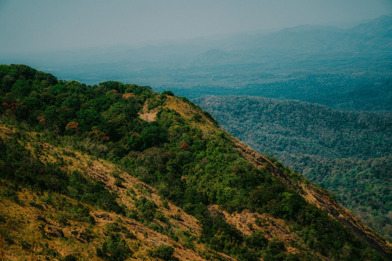
Wayanad acts as a natural tri-junction, sharing borders with Karnataka and Tamil Nadu. As a result, it serves as a vital gateway connecting multiple regions:
- Kerala’s Malabar region
- Mysuru and Bengaluru
- The Nilgiri Hills
Wayanad acts as a natural tri-junction, sharing borders with Karnataka and Tamil Nadu. As a result, it serves as a vital gateway connecting the Malabar region to Mysuru, Bengaluru, and the Nilgiri Hills. Geographically, the district lies at an altitude of 700 to 2100 meters above sea level. Iconic mountain ranges such as Chembra Peak and Banasura Hills form a natural barrier that defines the unique geography of Wayanad and its vegetation.
2. A UNESCO Heritage Ecosystem
As a core part of the Western Ghats, Wayanad holds immense ecological significance. In fact, it plays a crucial role in preserving biodiversity across South India.
- Wildlife Sanctuary: The Wayanad Wildlife Sanctuary is part of the Nilgiri Biosphere Reserve. Consequently, it connects vital wildlife corridors between Nagarhole National Park, Bandipur National Park, Mudumalai National Park, and Silent Valley National Park.
- Biodiversity: The forests support species such as the Asian elephant, Bengal tiger, Indian leopard, and Gaur, along with numerous endemic bird species.
- Forest Types: Additionally, the region features a rich mix of evergreen, semi-evergreen, and deciduous forests.
3. Climate and Plantation Economy
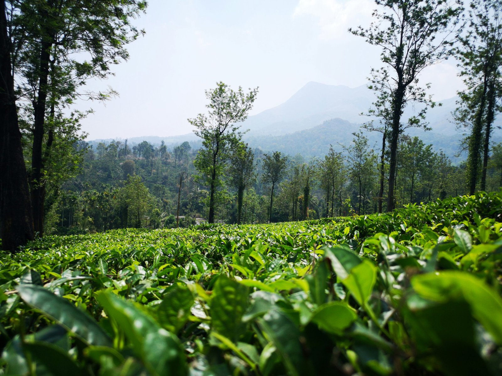
The high elevation ensures a cool and pleasant climate throughout the year. Furthermore, abundant monsoon rainfall nourishes lush greenery and sustains Wayanad’s thriving plantation economy.
Key crops include:
- High-grade coffee and tea
- Black pepper and cardamom
- Exotic fruits and spices
Therefore, agriculture remains a cornerstone of both the economy and the region’s identity.
4. Vital River Systems
As a core part of the Western Ghats, the geography of Wayanad holds immense ecological significance. It is a crucial watershed for South India and the origin of several important rivers:
- Kabini River: A major tributary of the Cauvery River, flowing eastward.
- Panamaram and Mananthavady Rivers: These rivers support local agriculture and feed structures like the Banasura Sagar Dam.
The fertile soil, enriched by forest cover, supports a well-defined agricultural pattern where valleys are used for rice paddies and slopes for coffee plantations.tures like the Banasura Sagar Dam. Thus, Wayanad plays a key role in regional water security.
5. Soil and Agricultural Tradition
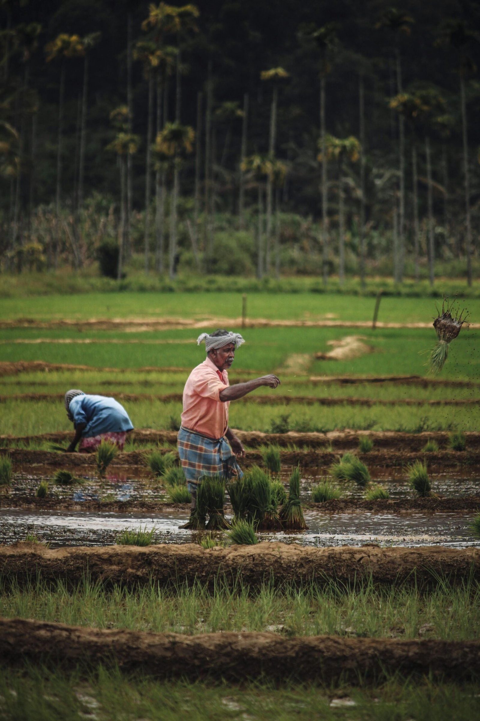
The soil in Wayanad is exceptionally fertile due to high organic content from forest cover. As a result, the geography supports a well-defined agricultural pattern:
- Valleys: Ideal for traditional rice paddies
- Slopes: Suitable for tea and coffee plantations
- Higher elevations: Perfect for spices and cool-climate vegetables
Moreover, this diversity enables both traditional and commercial farming to thrive side by side.
6. Natural Climate Buffer
Wayanad functions as an environmental shield for surrounding regions. In particular, its forests and elevation provide several ecological benefits:
- Temperature moderation: Helps cool nearby lowland districts
- Rainfall regulation: Maintains consistent weather patterns along the Malabar coast
- Erosion control: Prevents soil degradation and supports hydrological balance
Consequently, Wayanad is not just a destination but a critical ecological stabilizer for Kerala.
Frequently Asked Questions (FAQ)
1. Why is Wayanad’s geography considered unique in Kerala?
Unlike coastal districts, Wayanad is a high-altitude plateau. Therefore, it uniquely supports both large-scale plantations and dense wildlife corridors.
2. Which is the highest point in Wayanad?
The highest peak is Chembra Peak, standing at about 2,100 meters above sea level. Additionally, it offers panoramic views of the region.
3. Does the Kabini River flow into the Arabian Sea?
No, unlike most rivers in Kerala, the Kabini River flows eastward to join the Cauvery River, eventually reaching the Bay of Bengal.
4. How does Wayanad’s location benefit travelers?
Because it borders Karnataka and Tamil Nadu, travelers can easily combine trips to destinations like Ooty, Bandipur National Park, and Coorg.
Wayanad and its tourist Attractions | Kerala Tourism
5. What is the ecological significance of the Wayanad Wildlife Sanctuary?
Essentially, the Wayanad Wildlife Sanctuary acts as a vital link within the Nilgiri Biosphere Reserve. Hence, it ensures safe migration routes for large mammals like elephants and tigers across South India.